 Login
Login What is Field-Map?
Field-Map is a software and hardware technology for effective computer-aided field data collection and data processing.
Field-Map combines a flexible real-time GIS software Field-Map with electronic equipment for mapping and dendrometric measurements.
Flexible technology
Configure your own database, forms, checks and workflows.
Fast fieldwork
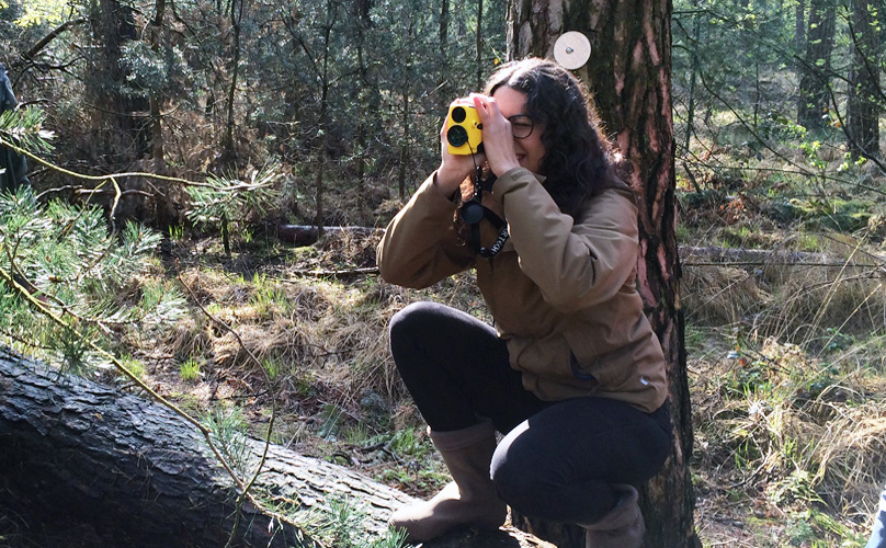
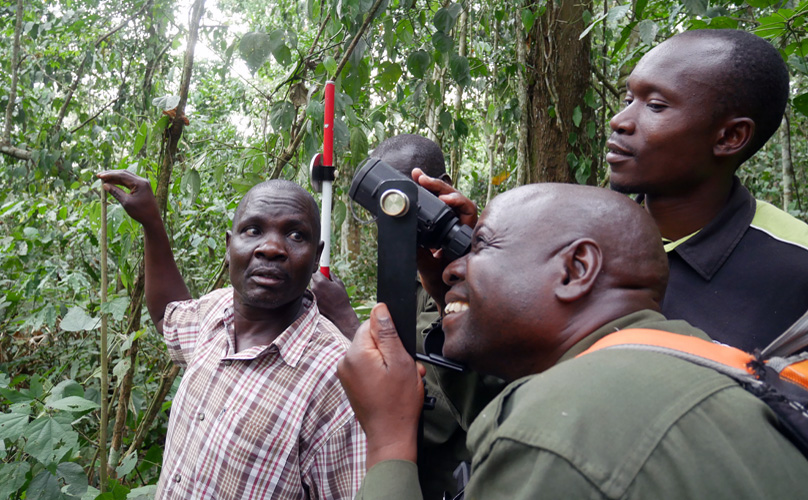
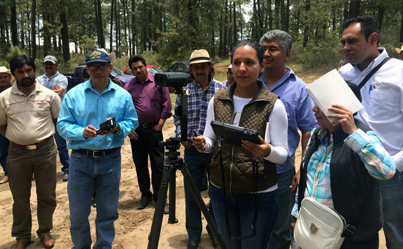
Support of GNSS, laser, caliper, … Works under canopy.
Data quality
Validation, repeat measurements and team synchronization.


Field-Map in Keywords - Differentiating Field-Map
User-defined database structure
Multi-plot approach
Support for measurement devices
Scripting, synchronization, data processing
How it works
3
Synchronize
Synchronize data, lookup tables and metadata with the server.
Field-Map Software
The Field-Map software is divided into two main components: Project Manager and Data Collector.
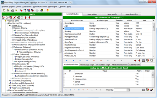
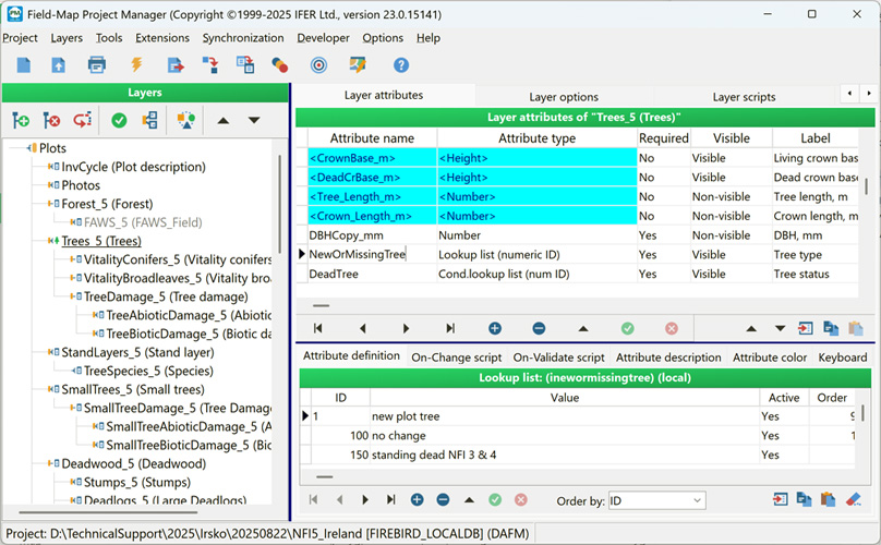
Field-Map Project Manager
Design your project on a desktop PC using a user-friendly interface, with no programming skills required.

Field-Map Data Collector
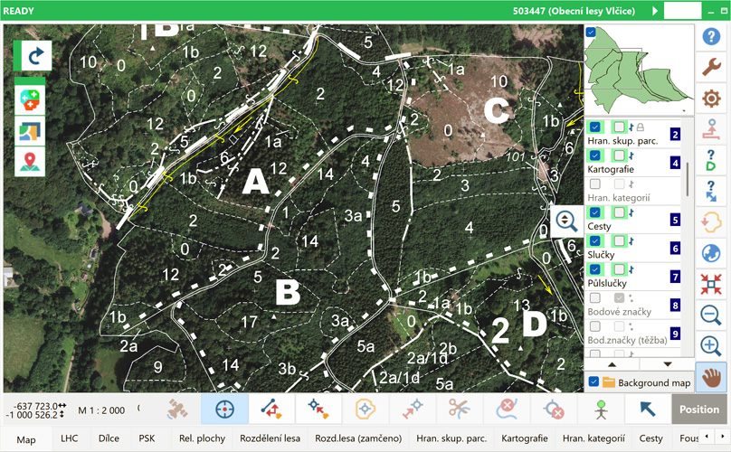
Map, measure and describe field attributes with support for a pen- or finger-based tablet computer.
Two additional tools are available for statistical analysis and stem analysis.

Field-Map Inventory Analyst
Analyze your data, use advanced statistical processing tools, and generate instant Excel tables and graphs.
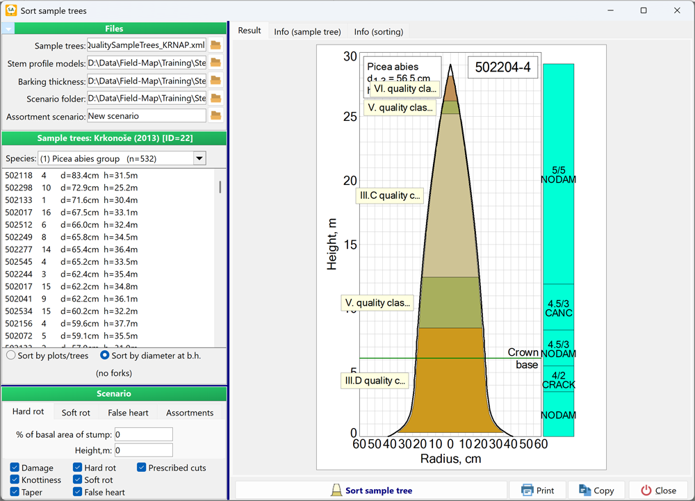
Field-Map Stem Analyst
Calculate the volume of standing trees and even assortments based on direct measurements.